
Pacific Storm San Diego: Here’s How Much Rain is Expected

Another Pacific storm is headed for San Diego, and could bring rain, wind, and possible flooding by early Tuesday morning.
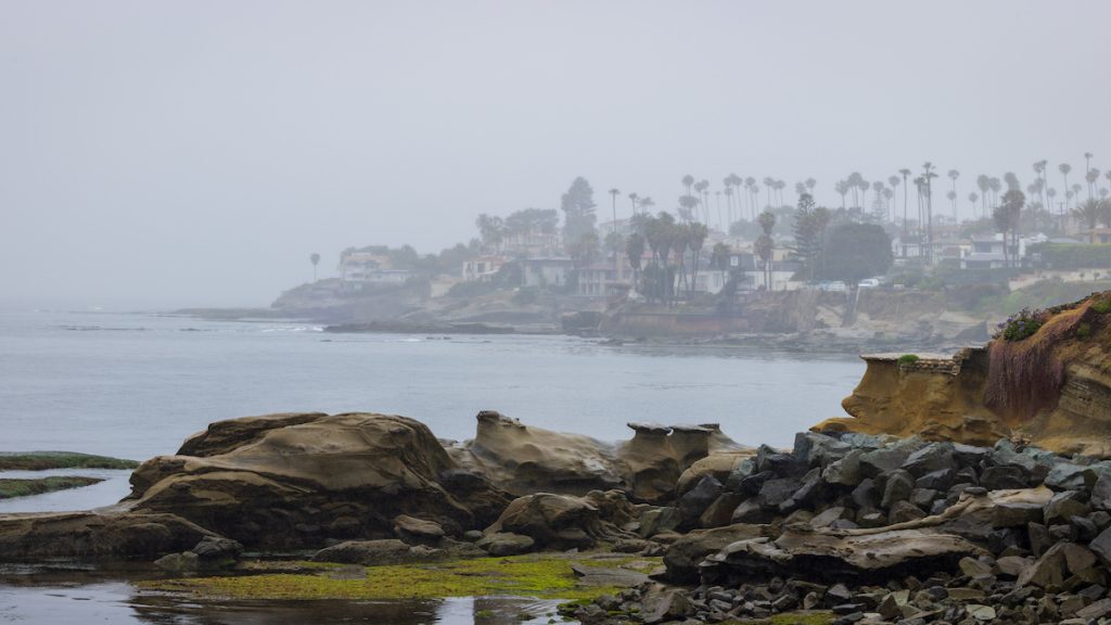
San Diego has seen a number of atmospheric river storms over the last couple of months, including a particularly historic storm that caused flash flooding in many areas around the county.
The slow moving storm was originally expected to hit the region earlier on Monday, but its sluggishness has caused meteorologists to delay their forecasts. According to the National Weather Service, the bulk of the Pacific Storm won’t hit San Diego until Tuesday.
“Showers will occur in some locations today, but Tuesday afternoon-Tuesday night look to be the best period for widespread rain and high elevation (8000+ ft) snow,” the local NWS said in a tweet on Monday.

As far as how much rain you can expect, San Diego — including downtown La Jolla — may see half an inch to three quarters of an inch of rain. North County areas could see much more rainfall, with Oceanside expecting 1 inch to 1.5 inches, and Palomar Mountain expected 1.5 inches to 2 inches.
Given the temperature and rainfall totals, this storm will also be a good opportunity to hit some of the best places to see snow in San Diego.
In addition to the flood watch issued by the NWS, there could also be some dangers by the coast. There’s currently a high surf advisory, with surf between six and 10 feet in height and sets as high as 10 to 11 feet.
Many San Diego beaches are also closed because of high bacteria levels.
Media credit: Image licensed from Adobe

Mike Peterson is a writer, editor, and strategist based in San Diego. When he’s not writing and editing the La Jolla news, you can often find him practicing yoga, rock climbing, or exploring the outdoors with his wife and dog.